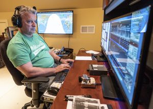
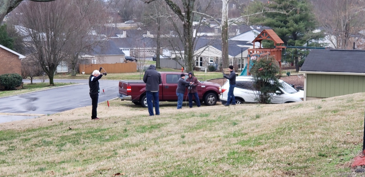
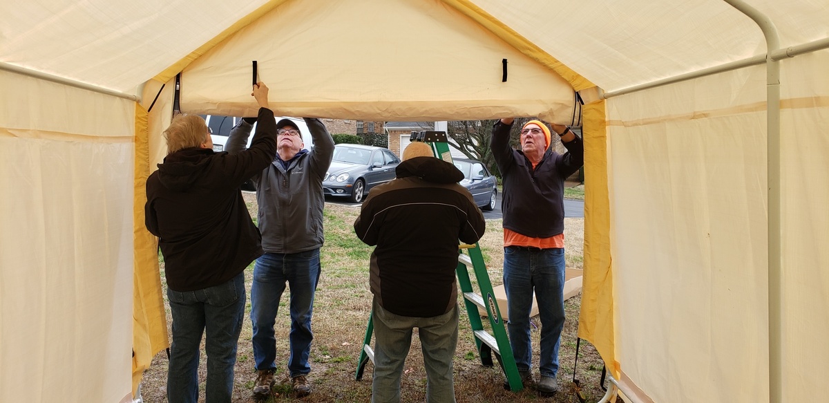
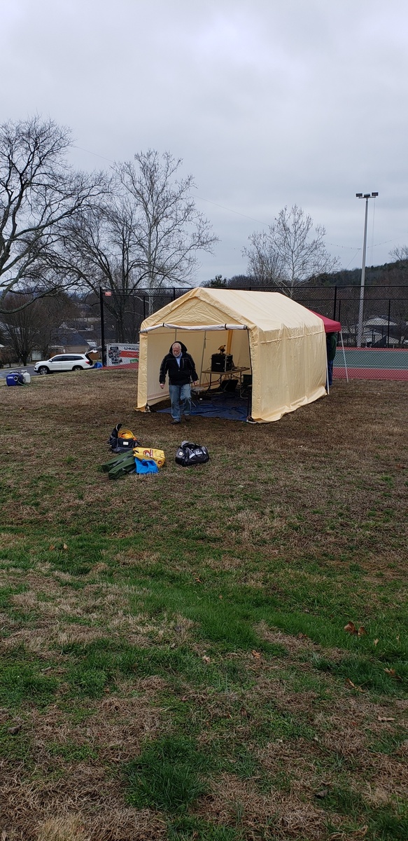
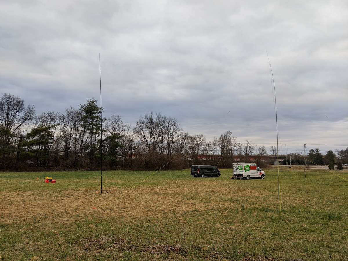
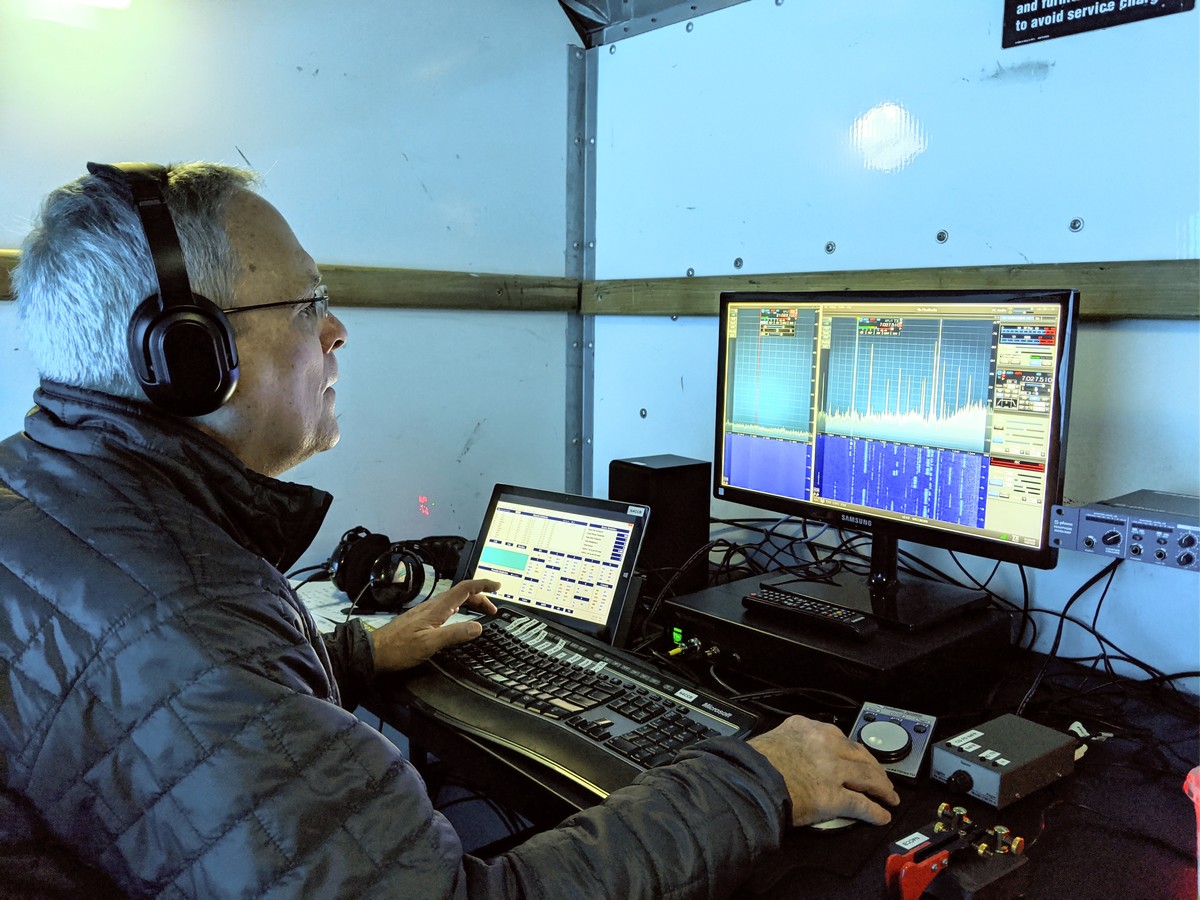
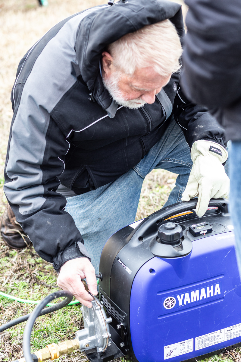
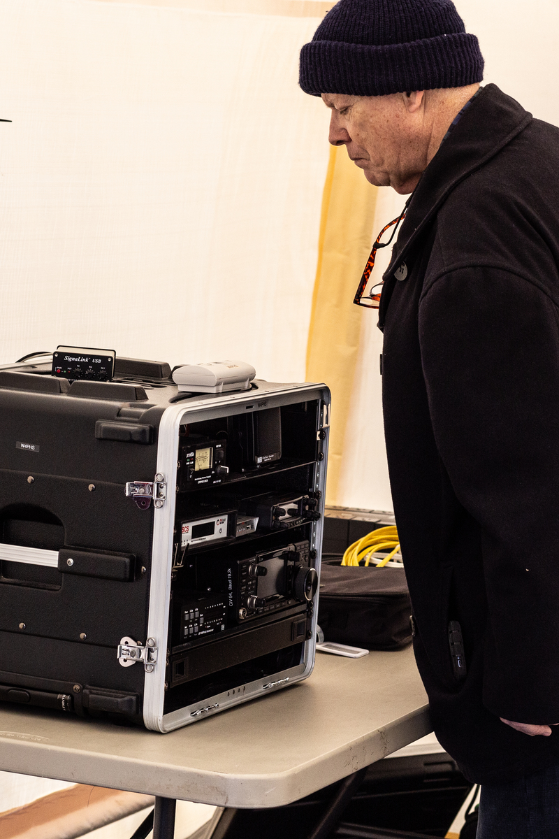
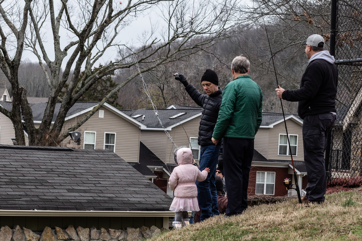
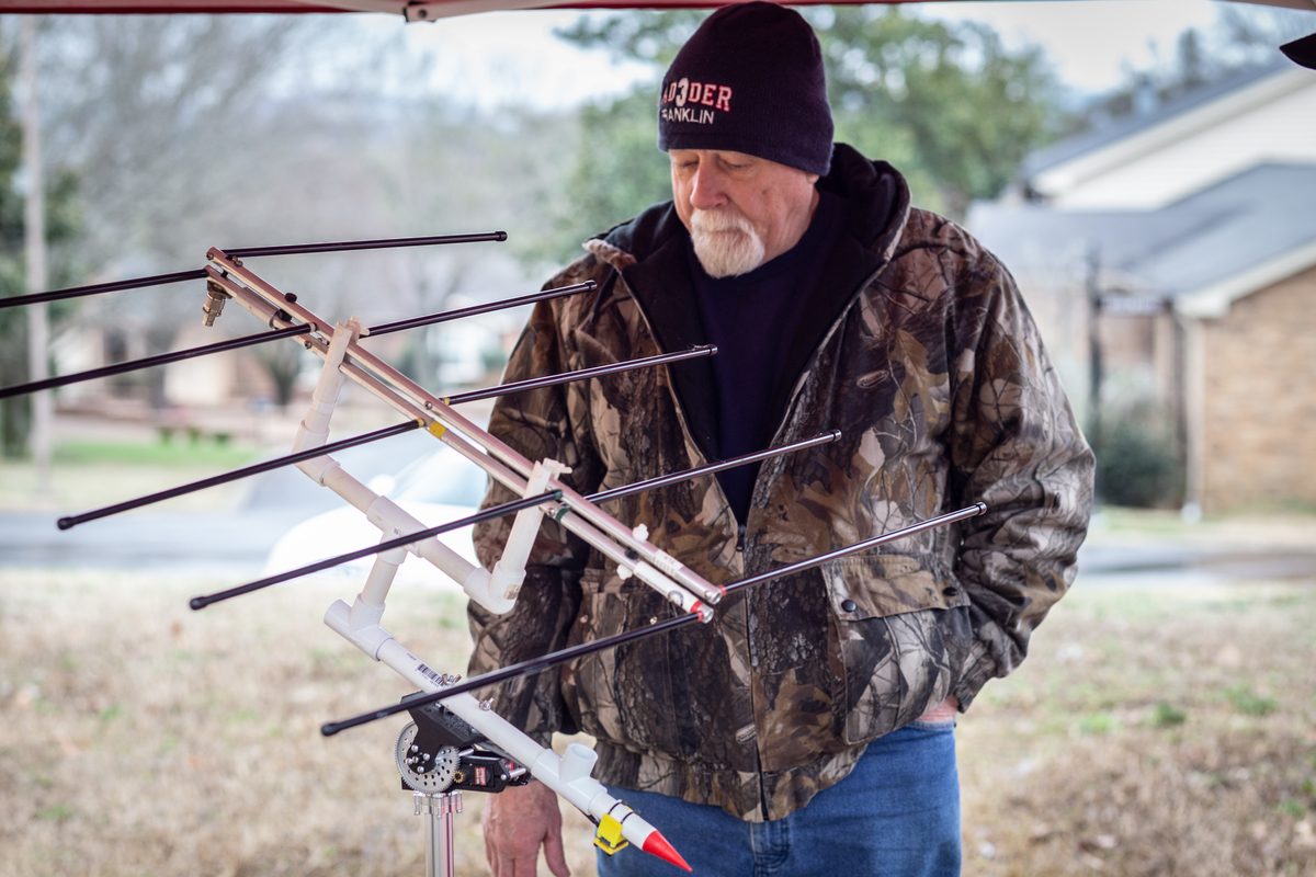
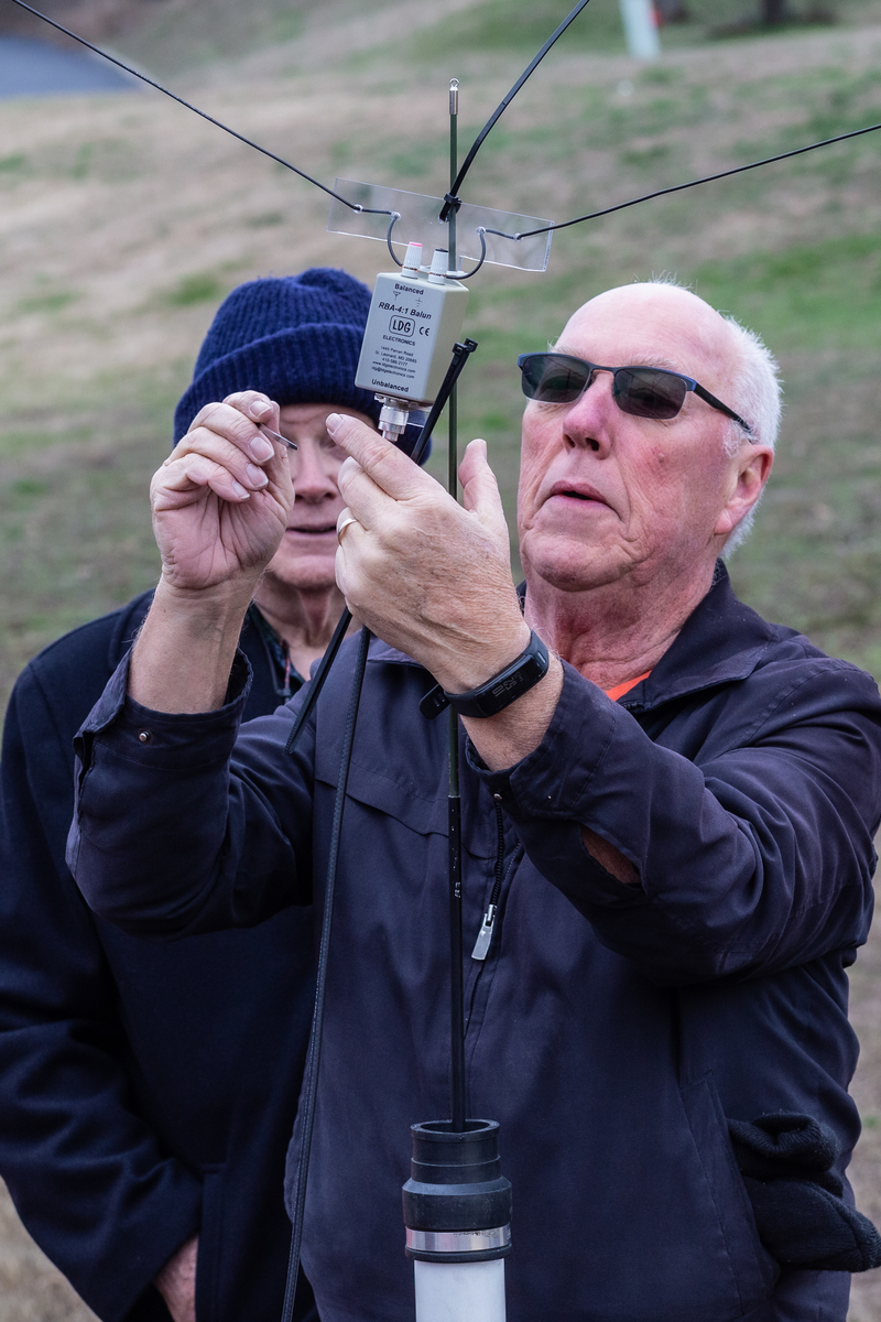
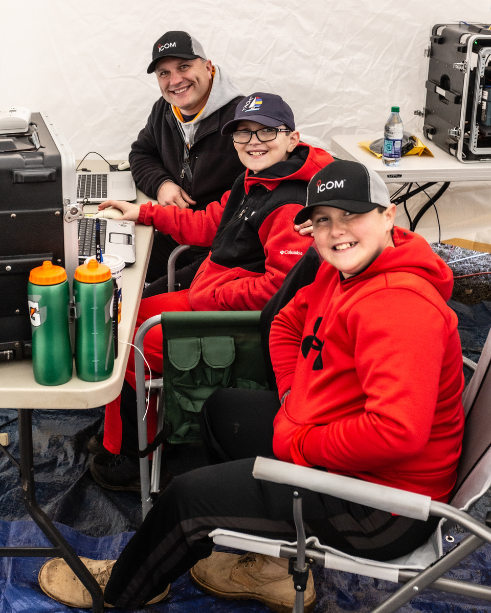
Thanks to Tim, AD4CJ for this post and Cliff, N4CCB for the photos. Operator in the pictures is Hunter Mills, K3IE. Hunter is also the Tennessee Contest Group president. You can learn more about TCG here: http://k4tcg.org/ . Full results are in the May, 2020 issue of QST on pages 72 and 73.
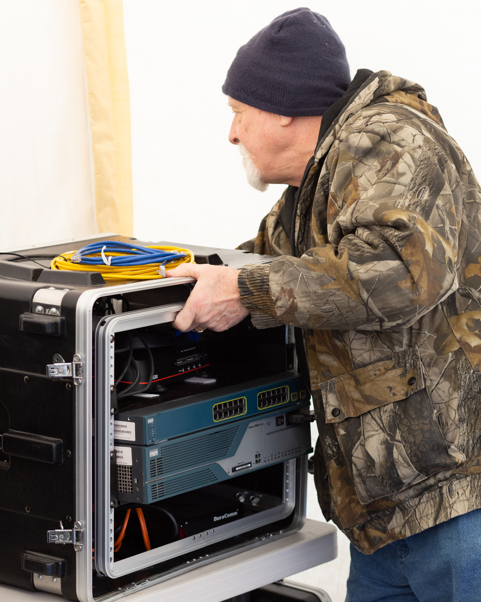
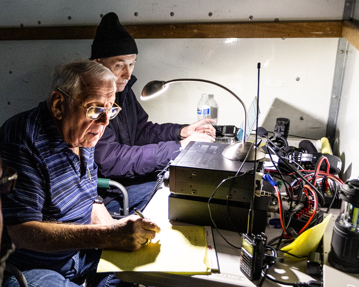
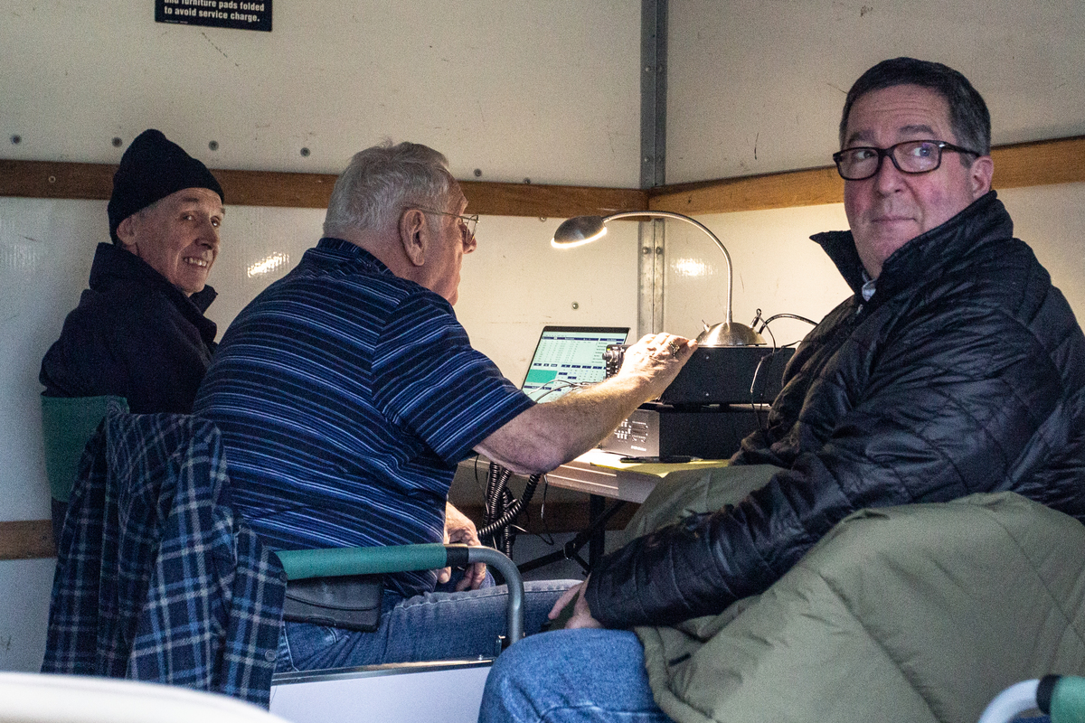
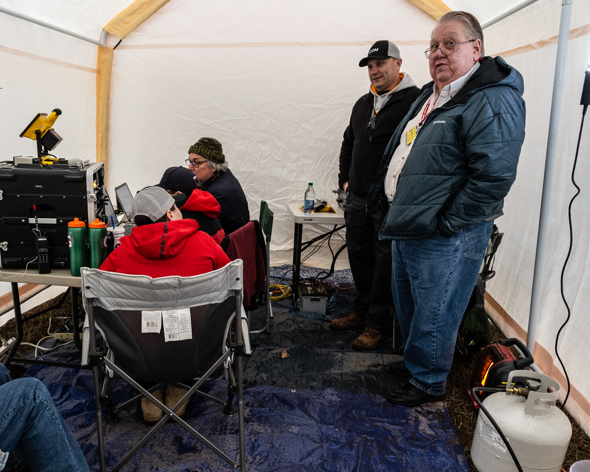
The results of the 2019 ARRL Sweepstakes CW contest are in. The N4FR CW contest team consisting of AD4CJ, K3IE, N4CCB, KB9DKR, and KJ4YAY were the crew manning the station at the QTH of Tim, AD4CJ. We were able to score #1 in the Delta division Multi-Op Low Power category, and win a plaque sponsored by Icom America.
Sweepstakes is the oldest domestic radiosport event, with the first contest held in 1930. It has its roots in message handling protocols, and as such, it has the most difficult of all contest exchanges. The exchange is not your typical 599 exchange. It consists of an incremental serial number, then the precedence (Q,A,B,U,M, or S), then your own call (in our case N4FR), then a check number (the year of first licensing of your call), then finally the ARRL/RAC Section. We were operating as a multi-op, single radio, low power (under 150 Watts) station, so our precedence was M. The year of licensing of N4FR was 2000, so our check number was “00”.
A typical exchange would be as follows:
Us: CQ CQ N4FR SS (This means CQ CQ N4FR SweepStakes)
Answering Station: W1AW
Us: W1AW 123 M N4FR 00 TN (We answered their call, gave a sequential S/N, then our precedence, then our call, our check, then finally our ARRL section.
Answering: 43 M W1AW 31 CT
Us: TU (Thank you) CQ N4FR SS
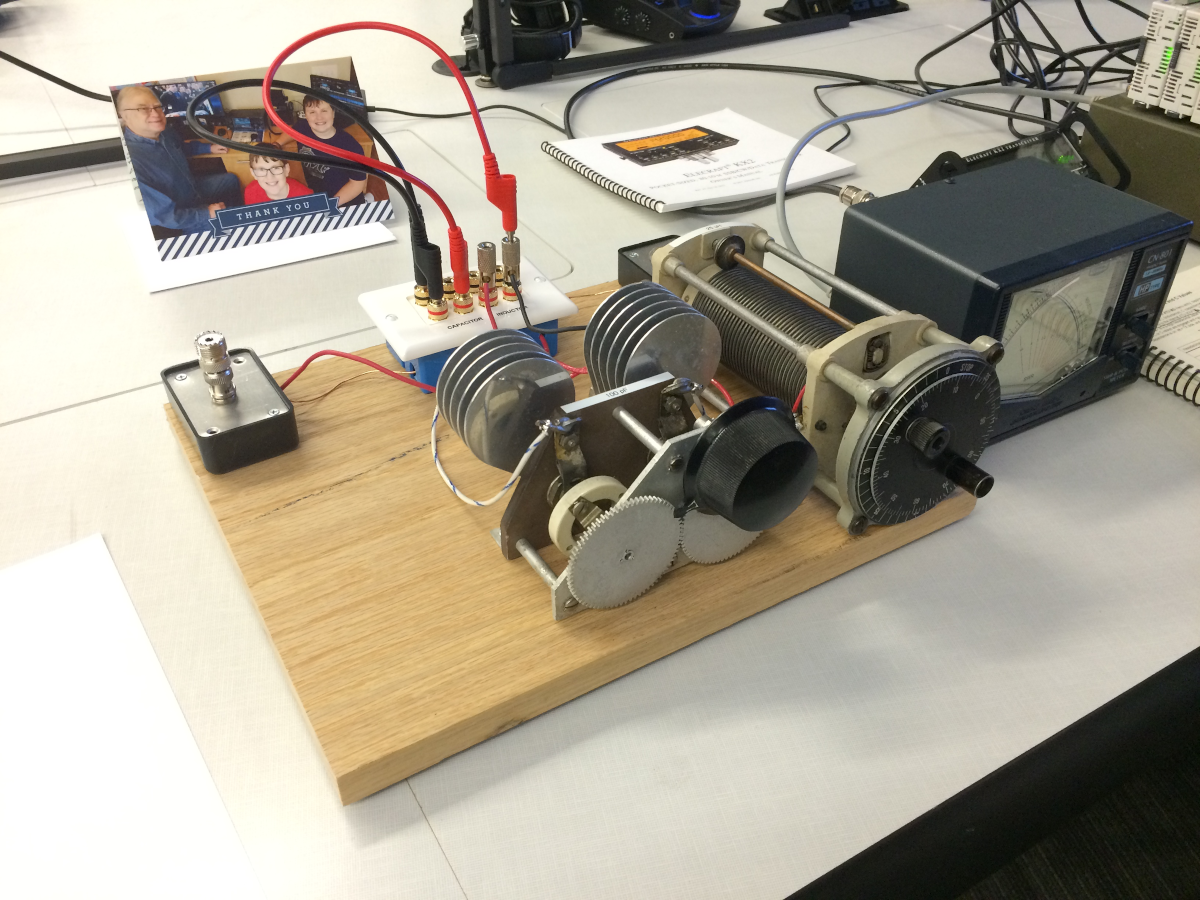
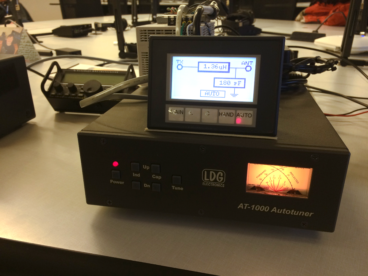
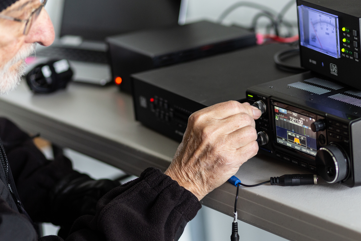
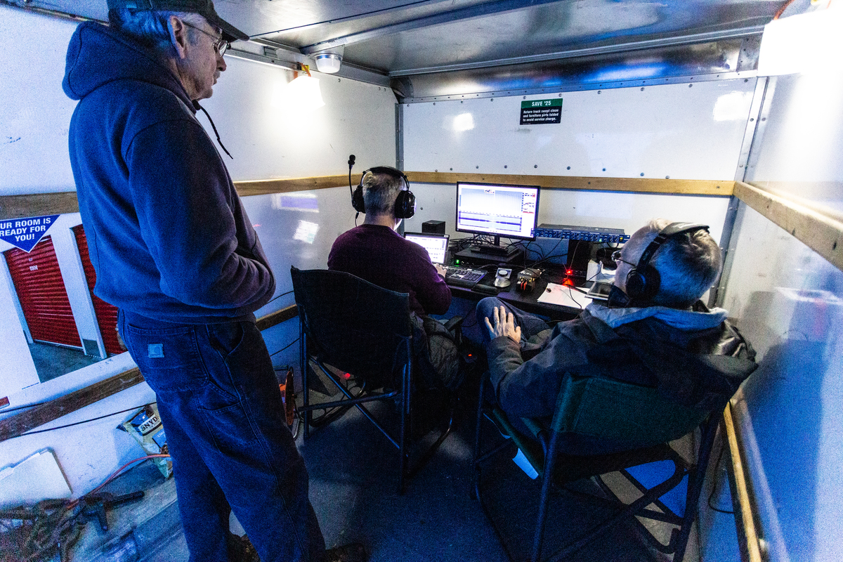
Our contest station consisted of a Flex Radio 6500, and we used N1MM contest logging software. We are allowed to use a spotting network and CW skimmer assistance in the Sweepstakes contest. Therefore, we were running CW Skimmer (a program that decodes call signs over the entire band that the Flex Radio has open). We then fed the results of the Skimmer program into N1MM logger as the DX spotting cluster instead of using Telnet. Doing this allowed only those stations that our radio actually heard to be listed in our spotting network. If a new Section was listed, N1MM alerted us to an unworked section, and we were able to concentrate just on that frequency and station.
We were able to work a “Clean Sweep” this year, which means we worked stations in all 83 ARRL/RAC sections. One of the most desired QSOs was with VY1AAA from the Northwest Territories as it was the only station operating from NT, and was being manned remotely by Gerry, W1VE. We were able to work them at 1831 Z on Sunday. Cliff was operating Sunday afternoon when our spotting network alerted us to the last section we needed, which was Manitoba (MB). Cliff was able to concentrate on and successfully completed our “Clean Sweep”, when he worked VE4VT from MB at 2213 Z on Sunday.
Overall, we had a great time, and lots of good ham radio and CW experience. This year, CW Sweepstakes will run 11/7/2020 through 11/9/2020. The SSB Sweepstakes will run from 11/21/2020 through 11/23/2020. We want to encourage all the members of WCARES to consider working this contest, even if they have no contest experience. Most of the stations participating in this contest will slow down, and give newbies a chance to make successful QSOs. It is a great way to sharpen your skills, and you will definitely have a chance to achieve “Worked All States”.
73,
Tim, AD4CJ


 This set will replace the over ten year old well-used set currently in their system. Included are the 24th edition of the Antenna Book, the 4th edition of the FCC Rules, the 2020 Handbook, the 12th edition of the Operating Manual, the 3rd edition of the RFI Book, the 2nd edition of Understanding Basic Electronics, and copies of the current edition of the Technician, General, and Extra Class License Manuals.